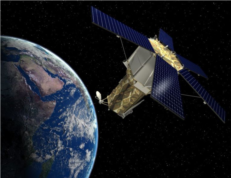
The Centre has decided to use satellite imaging to demarcate the boundaries of Northeastern states. This will resolve the inter-state boundary conflicts that are frequent these days and violent at times.
The task has been allotted to the North Eastern Space Application Centre (NESAC). It is a joint project of the Department of Space (DoS) and the North Eastern Council, according to two senior government officials (NEC).
By offering advanced space technology support, the NESAC supports the development process in the Northeast. After five Assam Police officers and a civilian were killed in clashes along the Assam-Mizoram border, the inter-state border conflicts have resurfaced.
Union Home Minister Amit Shah proposed the concept of using satellite imaging to define inter-state borders a few months ago.
Shah had proposed seeking NESAC’s help in mapping inter-state borders and forests in the Northeastern region, as well as developing a scientific delineation of state borders. The NESAC, situated in Shillong, is already using space technology to regulate floods in the region.
Because scientific procedures would be used to define borders, there will be no space for error. According to officials, the states will be more tolerant of the boundary solutions.
They claim that once the satellite mapping is finalized, the boundaries of Northeastern states can be defined and the disputes can be permanently resolved.
While the Mizoram government gained control of a 509-square-mile stretch of inner-line reserve forest established in 1875 under the Bengal Eastern Frontier Regulation of 1873. The Assam government relied on the constitutional map and boundaries created by the Survey of India in 1993.
The NESAC’s main goals are to create operational remote sensing and geographic information. It would be a system-assisted natural resource information base to support regional development, natural resource management, and infrastructure planning.
In the region, it delivers operational satellite communication applications services in education, health care, disaster relief, and developmental communication. Other goals include researching in the fields of space and atmospheric science, building an instrumentation hub, and working with regional academic institutions.


