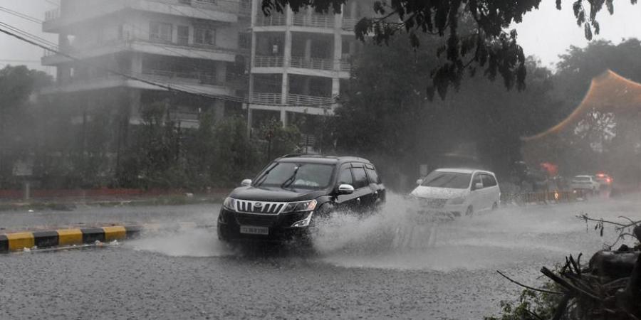
Odisha is now under the impact of the southwest monsoon. According to the IMD, a cyclonic circulation extends up to 4.5 km above mean sea level over the Northwest Bay of Bengal and adjoining coastal districts of Odisha and WB.
Around July 11, 2021, a low-pressure area is expected to form across the west-central and adjoining Northwest Bay of Bengal. It would be near the shores of north Andhra Pradesh and south Odisha.
In the meantime, heavy rain is predicted in Sundargarh, Jharsuguda, Sambalpur, Deogarh, Angul, Keonjhar, Mayurbhanj, Balasore, Nuapada, Bargarh, Sonepur, and Bolangir in the next 24 hours.
On the 9th of July, heavy rainfall is expected in few locations across the districts of Nabarangpur, Nuapada, and Sundargarh. Over the districts of Sonepur, Boudh, Nuapada, Balangir, Kalahandi, Kandhamal, Nawarangpur, Rayagada, Koraput, Malkangiri, Bargarh, Jharsuguda, Sundargarh, Keonjhar, and Mayurbhanj, a thunderstorm with lightning is extremely likely to occur at one or two places.
Heavy rain is expected in one or two locations over the districts of Malkangiri, Koraput, Rayagada, Gajapati, Ganjam, Kandhamal, Kalahandi, and Puri.
On July 10th, a thunderstorm with lightning is very likely to strike Puri, Khordha, Nayagarh, Ganjam, Gajapati, Sonespur, Boudh, Nuapada, Balangir, Kalahandi, Kandhamal, Nawarangpur, Rayagada, Koraput, Malkangiri, Cuttack, Jagatsinghpur, Kendrapara, Bhadrak, Jajpur, Balasore, Mayurbhanj.


